Terrestrial 3D Scanning
Welcome to our Terrestrial 3D Scanning page, where reality meets innovation. At Sea Shadow Surveys Pty (Ltd), we specialize in capturing the intricate details of real-world structures and landscapes through advanced 3D laser scanning technology.

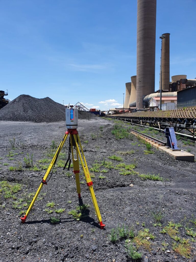
Real-Time Precision:
Our Terrestrial 3D Scanning services employ state-of-the-art laser scanning technology to capture real-time as-built and natural features. The result is a dense point cloud that accurately represents the environment, providing a foundation for precise modeling and analysis.

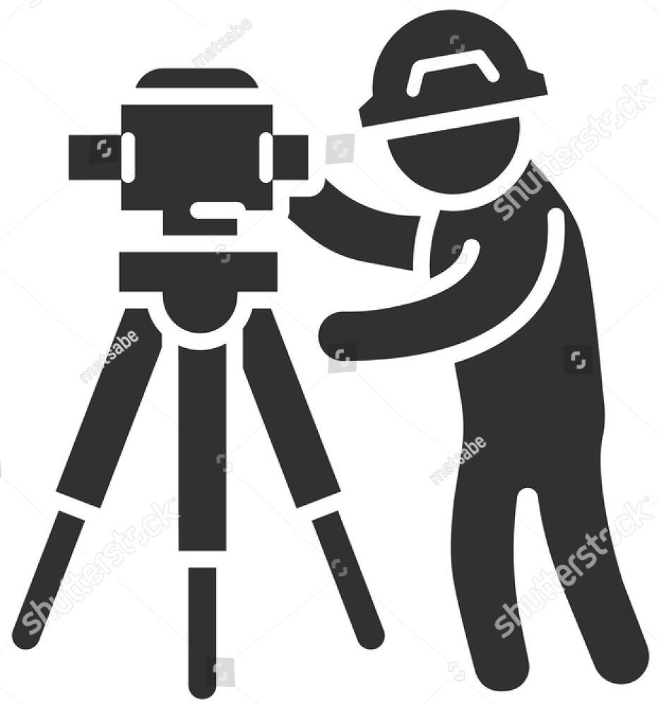
Creating 3D CAD and BIM Models:
Our skilled personnel transform the captured point cloud data into 3D Computer-Aided Design (CAD) and Building Information Modeling (BIM) models. These models offer a virtual representation of the scanned area, facilitating architectural, engineering, and design tasks with accuracy.

Embrace the Future of Data Capture:
By embracing the future of data capture through 3D laser scanning, you gain a competitive edge. Whether you're designing, monitoring, or documenting, our services provide the foundation for excellence.
Supporting Various Industries:
Our Terrestrial 3D Scanning capabilities extend across a wide range of industries, including:
Architecture:
Achieve design excellence by integrating accurate as-built data into your architectural projects.
Civil Design:
Enhance infrastructure design by working with detailed 3D models that replicate the physical environment.
Cultural Heritage:
Preserve and document cultural heritage sites with high-resolution 3D scans that capture the essence of history.
Deformation Monitoring:
Monitor structural changes over time with repeatable 3D scans that reveal even subtle shifts.
